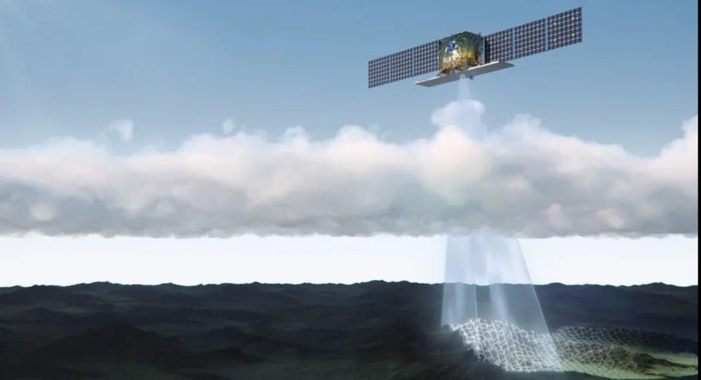
What is satellite remote sensing? It can be thought of as "clairvoyance" as in the TV show, or it can also be thought of as"Taking pictures of the Earth with an awesome camera."
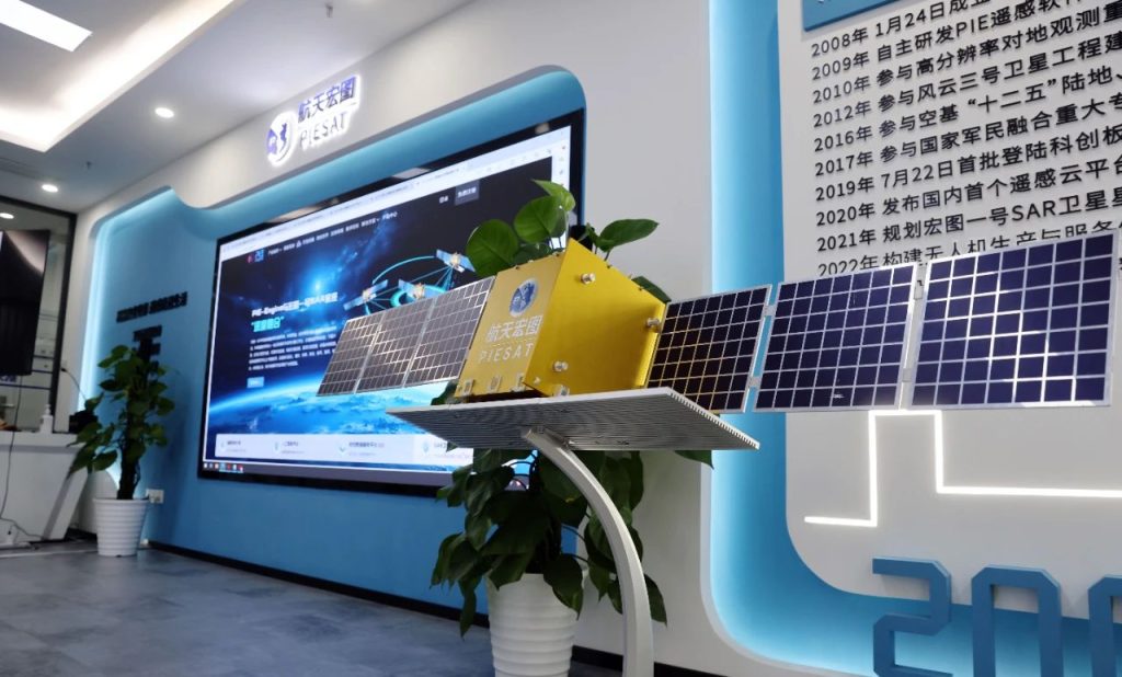
Nanjing Aerospace Hongtu Information Technology Co.
(hereinafter referred to as "NJSC")
It's a company that takes pictures of the earth.
Climate monitoring, environmental protection, disaster early warning ...... These are the fields in which Nanjing Aerospace Hongtu Satellite Remote Sensing Technology is making its efforts.Empowering new productivity with "hard technology"
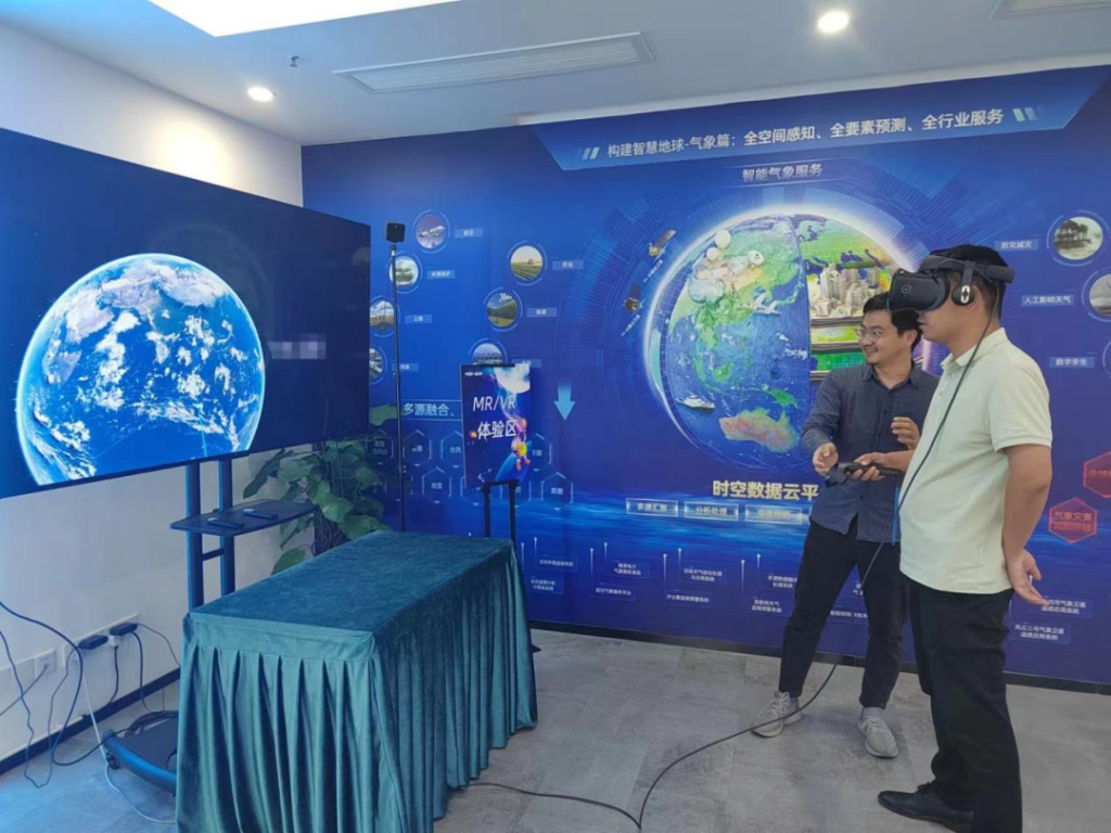
Imagine, with the future of intelligent satellite remote sensing technology, people from all walks of life through the cell phone will be able to access their needs of remote sensing images, for example: journalists can easily access the scene of emergencies images, tourists can be informed in advance of the scenic area of the passenger flow situation ......
Satellites in the sky. Remote sensing to monitor."There is a pollution warning!" The morning of January 5 this year, Aerospace Acer on-site technical engineers Bian Yuehui in the inspection of a cooperative unit of ecological environment wisdom supervision platform found that one of its jurisdictions there is a satellite remote sensing of air pollution hotspot grid, Bian Yuehui immediately issued a work order process to the relevant person in charge of the spot on-site inspection, found that the charcoal left behind after the combustion of the charcoal, the relevant person in charge of the village committees then collaborate to communicate with the village to properly dispose of the situation.
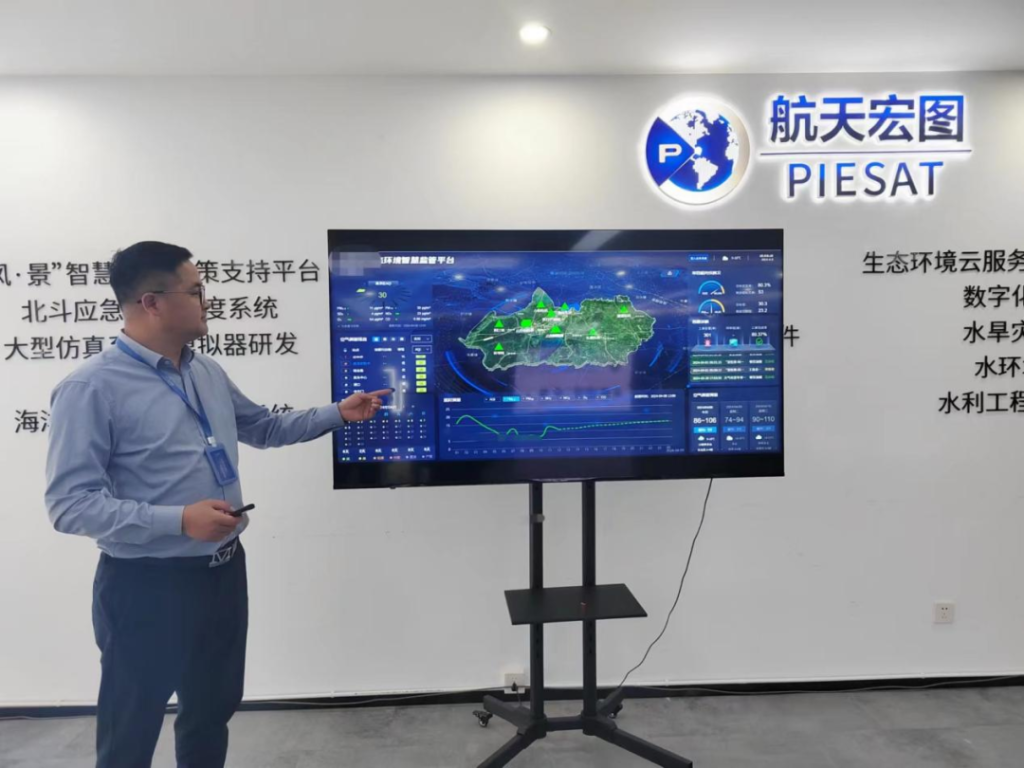
With the goal of improving the quality of the atmospheric environment, the Ecological Environment Intelligent Supervision Project is based on a variety of monitoring means, such as satellites, drones, video surveillance and ground stations.A "sky, air, land and human" environmental quality monitoring network has been established to realize closed-loop management of pollution warning, cause deduction, accurate traceability, task issuance, pollution disposal and effect assessment.
Atmospheric monitoring is just one of the many business segments of Nanjing Aerospace Hongtu.
- During the Chongqing hill fires, the fire team utilized satellite remote sensing technology to conduct comprehensive and accurate monitoring of 12 hill fires, which provided strong technical support for command and decision-making at the scene;
- Rural black smelly water body remote sensing identification technology, the use of multi-temporal, high-resolution remote sensing image number, such as the construction of a rural black smelly water body remote sensing identification model, to help many parts of the country rural black smelly water body identification and investigation work ......
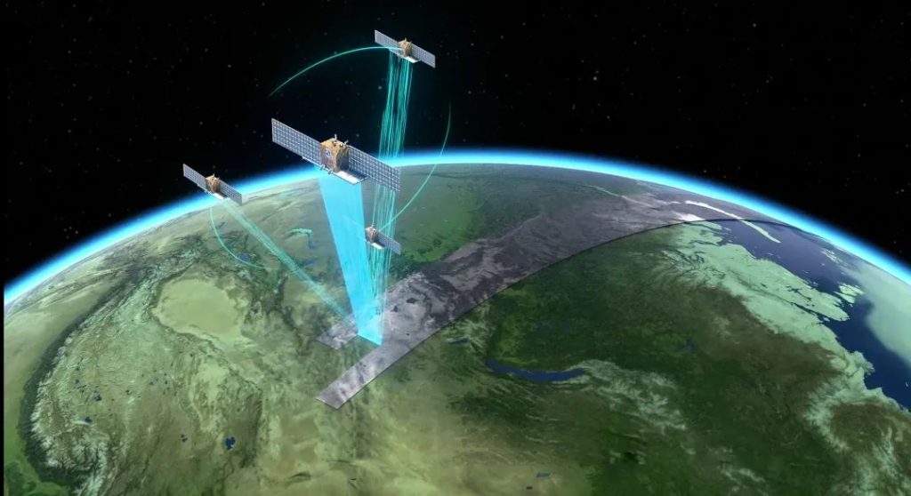
- Nowadays, based on the integration of remote sensing, Beidou, Internet of Things and other multi-source perception data, Nanjing Aerospace Hongtu can provide multi-field and diversified data support and management services, including mountain fire monitoring, air pollution monitoring, planting planning, and guidance on pest control, etc., by means of the scenario-based application of "cloud + end".
Education and Implementation Division Two-line Line of Science and TechnologyRecently, Xu Chong, a senior engineer and director of the Data Processing Department of SINOPEC's Jiangsu Oilfield Exploration Technology Research Institute, went into the live broadcasting room of Nanjing Aerospace Hongtu and started a report on the topic of "Application and Development of Compressed Sensing in Seismic Exploration". The lecture attracted more than 2,000 people to watch online.
In order to create a new high ground for combining scientific research, academics and the market, the Aerospace Hongtu "Yangtze River Delta Wisdom Earth Lecture Hall" was born. Since the first broadcast on January 19, 2023, 53 such lectures have been successfully held, with a total of 120,000 listeners.
Today, Nanjing Aerospace Hongtu is focusing on the requirements of the Implementation Program of the Plan and Outline of Action for the Scientific Quality of All People in Nanjing, and is actively carrying out the construction of remote sensing satellite science popularization education bases.In the future, Nanjing Space Macro will carry out a wide range of public welfare science popularization activities according to the base's own characteristics and the science popularization needs of the public and the society, and demonstrate the advanced nature of the satellite industry chain.
Commercial Expansion Remote Sensing to the SideIn recent years, China has made remarkable achievements in the development of new industries: manned spaceflight, moon and fire exploration, deep-sea and deep-earth exploration, supercomputers, satellite navigation, quantum information, nuclear power technology, large aircraft manufacturing, biomedicine, etc., and has entered the ranks of innovative countries.
Accelerating the development of the satellite industry is conducive to promoting the development of China's national space information industry, and is also of great significance to China's aerospace industry in firmly occupying the advanced ranks of global development and upgrading the country's comprehensive national power.
Starting from 2018, Nanjing Aerospace Hongtu began to expand commercialization applications, such as fire point monitoring of transmission lines and crop growth monitoring through remote sensing technology.At the same time, Nanjing Aerospace Hongtu also really introduced cloud computing into the field of remote sensing data processing, creating a free remote sensing service cloud platform for the public.
Actively integrate into the commercial space industry layout, actively participate in Jiangsu remote sensing data elements market cultivation and mechanism exploration, and actively promote the "sky-ground" integrated service capabilities to empower industry applications ...... Talking about future development, in addition to the three "active", Nanjing Aerospace Hongtu also emphasized the need to grasp technological innovation and give full play to technological advantages. In addition to the three "positive", Nanjing Aerospace Hongtu also emphasized the need to grasp technological innovation, give full play to the advantages of technology.We will continue to plow into the application of satellite remote sensing big data and the capacity building of low altitude service of unmanned aerial vehicles, and apply the technology more to the actual business pain points to benefit various industries.
More newsNanjing Aerospace Hongtu Information Technology Co., Ltd. was founded in 2017, is located in Yuhuatai District, Andmen Street, No. 25, Jindi Weixin Yuhua Innovation Center, Block B, 5th floor, is Jiangsu Province 1650 commercial space (satellite) industry chain focus of the enterprise, based on the Aerospace Hongtu satellite constellations and unmanned aerial flight service system, to create a "sky-land" Based on the Aerospace Hongtu satellite constellation and UAV flight service system, the company creates "sky-earth" service capability. At present, the company has obtained the qualification of national key high-tech enterprise, Nanjing gazelle enterprise, innovative small and medium-sized enterprises, Nanjing "specialized, special and new" small and medium-sized enterprises directory, Nanjing science and technology service backbone organization cultivation bank enterprises, etc., and will be listed on the "new four boards" in 2021. New Fourth Board" in 2021.